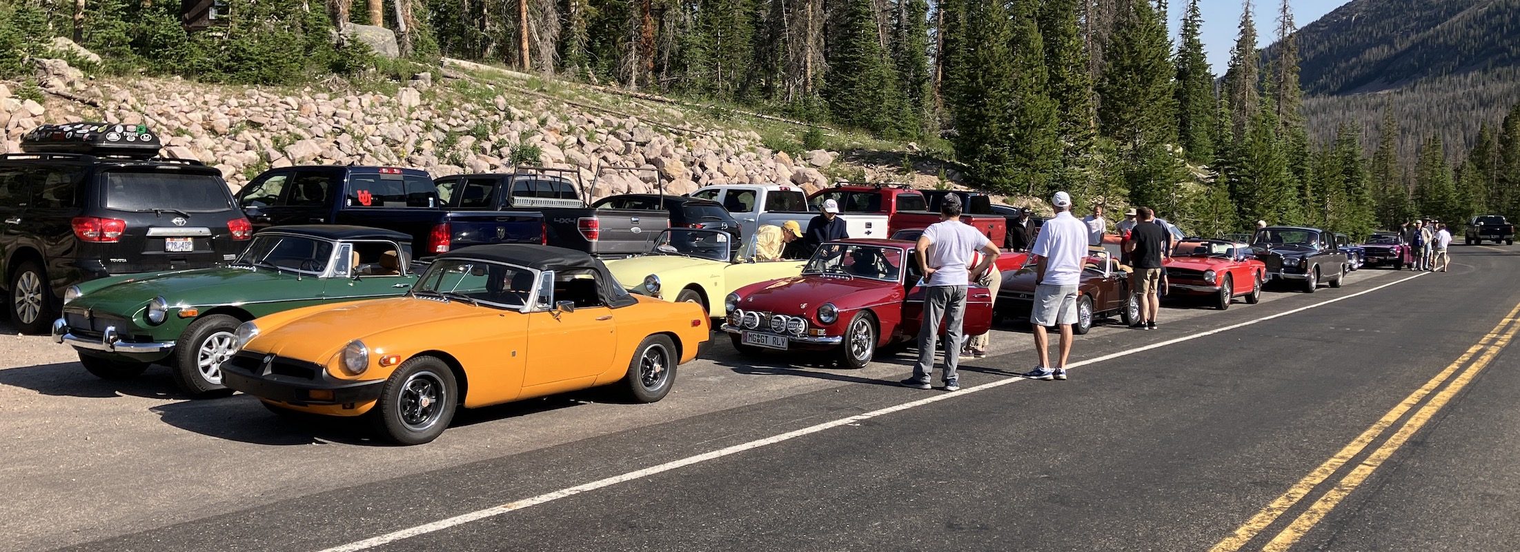
After driving 7 hours and 300 miles today, to check out locations and routes for the Fall Color Tour, Jill and I have determined that the best location for the tour is, in fact, Wolf Creek Pass.
It was a tough decision to make and made with great thought and consideration. The bottom line is this: the Fall colors in Northern Utah just are not nearly what they have been in the past. The Monte Cristo location was nearly barren of any Quaky leaves. The other leaves were muted colors. There just were not many trees with color.
The Wolf Creek Pass has many more trees and trees with leaves having color. Of course, there are 10 days until the Tour, so all of that can/may/will change. At this time, however, the Wolf Creek location is much more scenic.
FYI, we will now meet at our usual place at the Zoo at 9am for a 9:30am departure, up Emigration Canyon. The route will take us on a short stretch of I-80 to Exit 146 and the Sinclair station at Silver Creek Jct, to meet up with others and a Drain & Gain. The route will take US-40 to Exit 4, U-248, through scenic, Brown’s Canyon. At the “T” intersection with U-32, we will turn Right and travel through Peoa, Oakley, Kamas, and to Francis. At the stop sign in Francis, turn left (East) and continue on U-35 up to the Wolf Creek Summit (9480′) where parking will be off the road in a small area, with overflow on the shoulder of the road as we’ve done in the past.
Unfortunately, the gate to the larger parking area is already padlocked and not accessible to vehicles. As you’ll recall, it is just a short walk to the tables in this area.
After eating, members can continue east to Hanna and Tabiona, where they may turn around, retracing the route or turn right on U-208 and hook up with US-40 and back to Heber. Of course, retracing the route from the summit lunch area, will make for a shorter route, time wise.
Roger D
